| Parameter | Details |
| GoogleMap | the GoogleMap is an object that is received on a onMapReady() event |
| MarkerOptions | MarkerOptions is the builder class of a Marker and is used to add one marker to a map. |
Custom Google Map Styles
Map Style
Google Maps come with a set of different styles to be applied, using this code:
// Sets the map type to be "hybrid"
map.setMapType(GoogleMap.MAP_TYPE_HYBRID);
The different map styles are:
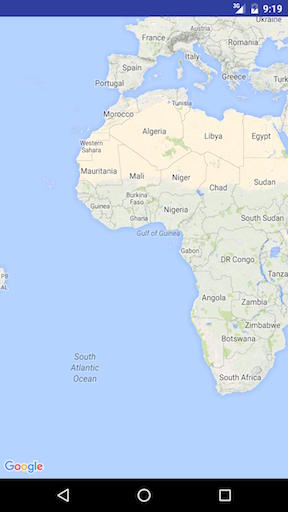
Normal
map.setMapType(GoogleMap.MAP_TYPE_NORMAL);Typical roadmap. Roads, some man-made features, and important natural features such as rivers are shown. Road
and feature labels are also visible.
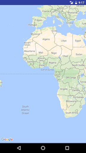
Hybrid
map.setMapType(GoogleMap.MAP_TYPE_HYBRID);Satellite photograph data with road maps added. Road and feature labels are also visible.
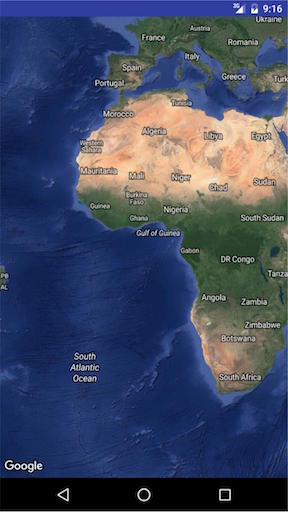
Satellite
map.setMapType(GoogleMap.MAP_TYPE_SATELLITE);Satellite photograph data. Road and feature labels are not visible.
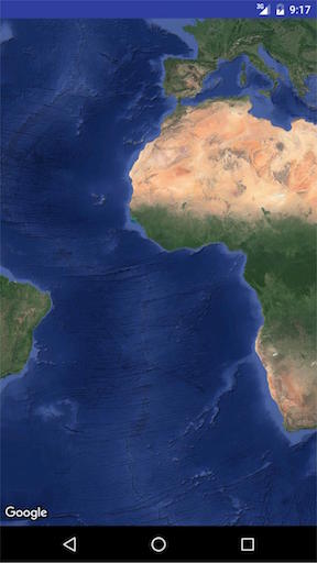
Terrain
map.setMapType(GoogleMap.MAP_TYPE_TERRAIN);Topographic data. The map includes colors, contour lines and labels, and perspective shading. Some roads and
labels are also visible.
None
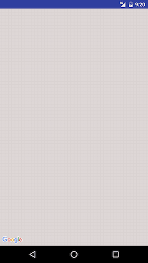
map.setMapType(GoogleMap.MAP_TYPE_NONE);No tiles. The map will be rendered as an empty grid with no tiles loaded.
OTHER STYLE OPTIONS
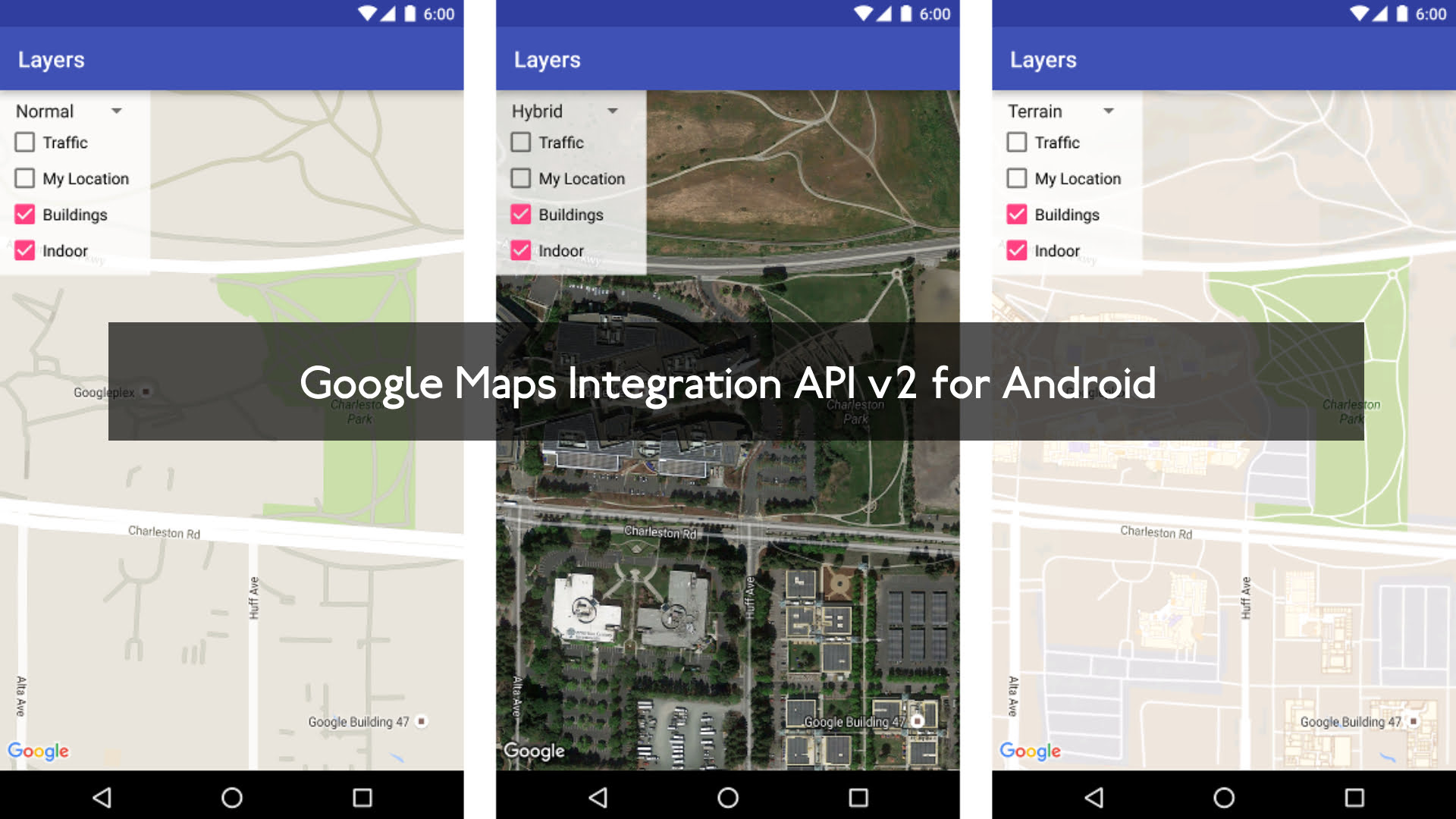
Indoor Maps
At high zoom levels, the map will show floor plans for indoor spaces. These are called indoor maps and are displayed only for the ‘normal’ and ‘satellite’ map types.
to enable or disable indoor maps, this is how it’s done:
 GoogleMap.setIndoorEnabled(true);
 GoogleMap.setIndoorEnabled(false);
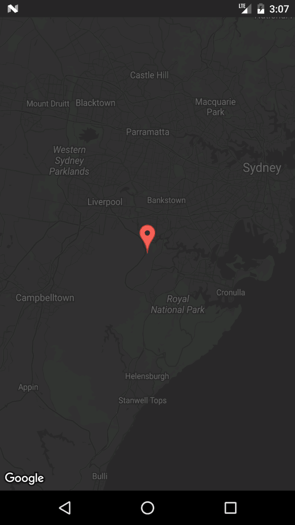
We can add custom styles to maps.
In onMapReady method add the following code snippet
mMap = googleMap; try {
   // Customise the styling of the base map using a JSON object defined
   // in a raw resource file.
   boolean success = mMap.setMapStyle(
     MapStyleOptions.loadRawResourceStyle( MapsActivity.this, R.raw.style_json));
   if (!success) {
      Log.e(TAG, "Style parsing failed.");
   }
} catch (Resources.NotFoundException e) {
     Log.e(TAG, "Can't find style.", e);
}
under res folder create a folder name raw and add the styles.json file. Sample style.json file
[ {
"featureType": "all",
"elementType": "geometry",
"stylers": [
{
"color": "#242f3e"
} ]
}, {
"featureType": "all",
"elementType": "labels.text.stroke",
"stylers": [
{
"lightness": -80
} ]
}, {
"featureType": "administrative",
"elementType": "labels.text.fill",
"stylers": [
{
"color": "#746855"
} ]
}, {
"featureType": "administrative.locality",
"elementType": "labels.text.fill",
"stylers": [
{
"color": "#d59563"
} ]
}, {
"featureType": "poi",
"elementType": "labels.text.fill",
"stylers": [
{
"color": "#d59563"
} ]
}, {
"featureType": "poi.park",
"elementType": "geometry",
"stylers": [
{
"color": "#263c3f"
} ]
}, {
{
"featureType": "road.highway",
"elementType": "labels.text.fill",
"stylers": [
{
"color": "#f3d19c"
} ]
}, {
"featureType": "road.local",
"elementType": "geometry.fill",
"stylers": [
{
"color": "#38414e"
} ]
}, {
"featureType": "road.local",
"elementType": "geometry.stroke",
"stylers": [
{
"color": "#212a37"
} ]
}, {
"featureType": "transit",
"elementType": "geometry",
"stylers": [
{
"color": "#2f3948"
} ]
}, {
"featureType": "transit.station",
"elementType": "labels.text.fill",
"stylers": [
{
"color": "#d59563"
} ]
}, {
"featureType": "water",
"elementType": "geometry",
"stylers": [
{
"color": "#17263c"
} ]
}, {
"featureType": "water",
"elementType": "labels.text.fill",
"stylers": [
{
"color": "#515c6d"
} ]
},
{
"featureType": "water",
"elementType": "labels.text.stroke",
"stylers": [
{
"lightness": -20
} ]
} ]
To generate styles json file click this link
Here have some Google map examples. Which is needed in our projects.

